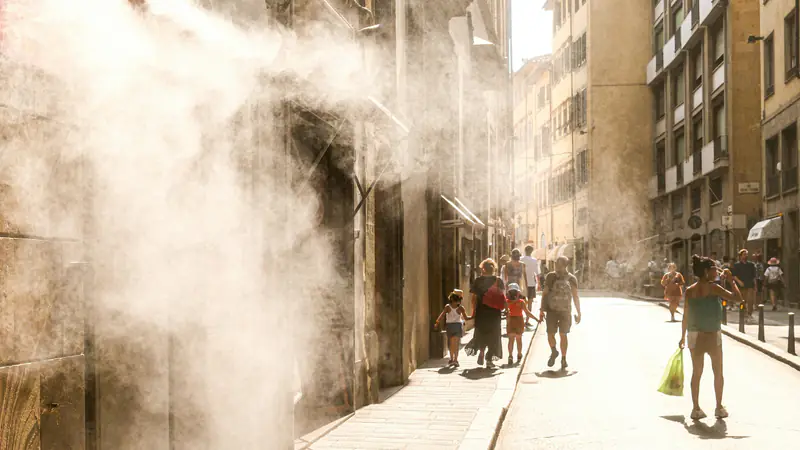
The questions
- Which neighbourhoods stay hottest at night during a heatwave?
- Who lives there: older residents, children, outdoor workers?
- How much cooler could a street be with trees, shade or lighter surfaces?
- Where should cooling centres and water points go?
What the twin would model
- Buildings, street width and surface materials
- Trees, parks and water
- Satellite land-surface temperature and local weather stations
- Population and vulnerable groups by area
- Clinics, schools and public buildings
Who it is for
Municipalities, urban planners, architects, public health teams and energy companies.
Public sources we plan to start from
- Copernicus Land Monitoring Service — Urban Atlas
- Copernicus Climate Change Service (C3S)
- National Observatory of Athens — meteo.gr
- OpenStreetMap
Listing a source does not mean we have a partnership with it. These are public datasets we plan to evaluate.