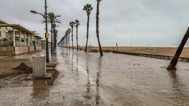
The questions
- Which roads, bridges and neighbourhoods flood first under a given amount of rain?
- Which villages could be cut off, and for how long?
- Where would a new embankment or drainage channel help most?
- How do farms, water supply and power networks recover after a flood?
What the twin would model
- Elevation and river networks
- Rainfall forecasts and past storm records
- Soil and land use
- Buildings, roads, bridges and critical services
- Satellite flood maps from past events, to check the model
Who it is for
Regions and municipalities, water authorities, farmers' cooperatives, insurers and engineers.
Public sources we plan to start from
- Copernicus Emergency Management Service — flood mapping
- European Flood Awareness System (EFAS)
- National Observatory of Athens — meteo.gr
- Greek open data portal — data.gov.gr
Listing a source does not mean we have a partnership with it. These are public datasets we plan to evaluate.